Today we've got a guest blogger.
Colin Speakman, creator of the Dales Way long distance route writes about A Dales High Way.
The popularity of the Dales Way - soon approaching its half
century - has grown to such an extent that around a dozen walking tour
operators now include the Dales Way long distance walk as a package walking holiday
with luggage carrying facilities. This
means it can be difficult to book accommodation in villages along some sections
in the summer months. Great for the Dales and Lake District economies, but less
good for independent walkers looking for a bed.

That’s just one of the reasons why its younger sister, A Dales High Way, is so welcome and
important for walkers. This 90-mile route between Saltaire and Appleby was created
by authors and publishers Chris and Tony Grogan in 2007.

Whilst the Dales Way is essentially a valley route,
in contrast A Dales High Way crosses high moorland, fellsides and even summit peaks,
and is more physically demanding. If the
Dales Way is the perfect beginners’ long distance walk, A Dales High Way is
the ideal next step up in terms of physical difficulty – and is less busy with
walkers even in the height of summer.
 |
| The Dales Way follows the river |
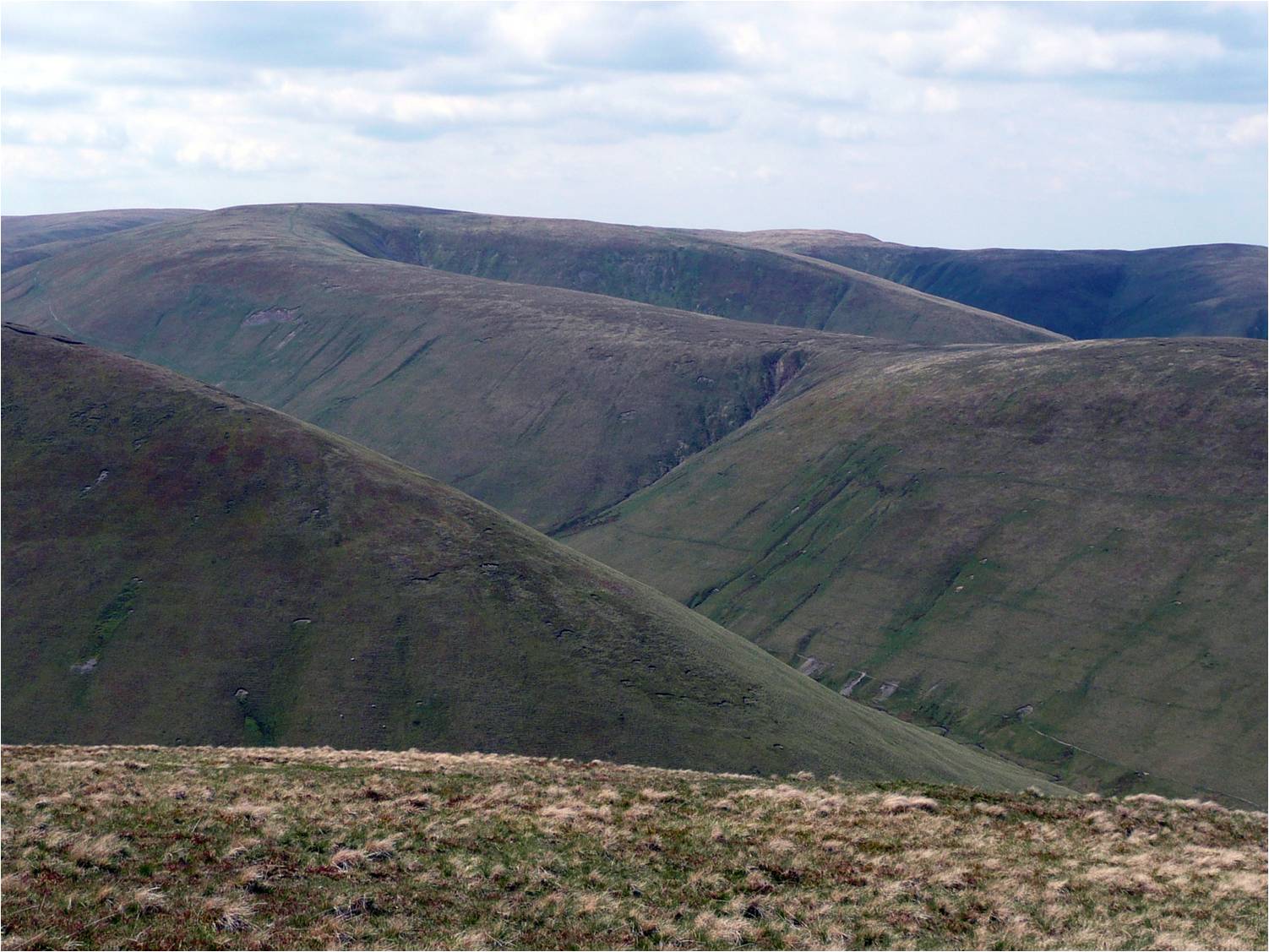 |
| A Dales High Way heads for the hills |
It has a very distinctive character that is totally its own.
Starting in the World Heritage village
of Saltaire on the edge of Bradford, it crosses Ilkley and Addingham Moors, through
the Aire Gap and into the Craven limestone country, winding its way above
Malham through Ribblesdale’s Three Peaks into Dentdale where for a few miles,
in one of the most beautiful of all the Yorkshire Dales, it joins the Dales Way. It then heads due
north from Sedbergh across the magnificent Howgill Fells to Newbiggin on Lune,
then over the Orton Fells to Great Asby and finally to the historic Westmorland
capital of Appleby in the Eden Valley.
If the Dales Way joins two National Parks, the Yorkshire Dales and the Lakes, A Dales High Way explores the new northern extension of the Yorkshire Dales National
Park, and is the perfect introduction to this beautiful newly protected
landscape. A further advantage is that A Dales High Way parallels the iconic Settle to Carlisle railway, making
transport to and from the start, central sections or the end of the walk far
easier than using cars or taxis.

This new 2018-updated edition of A Dales High Way Companion by Chris and Tony is published by their
own Skyware Press.

A beautifully produced book, it reflects their enthusiasm, knowledge
and skills as joint authors, photographers, cartographers and publishers. Whilst the Companion does contain detailed instructions, if you are walking
the route you also need the accompanying detailed maps contained in the Dales High Way Route Guide. This means
the landscape interpretation and history can be kept dry in the rucksack and enjoyed
at leisure in the pub or B&B at the end of the day's walk, while the Route Guide in it's waterproof cover takes you from stile to stile. If you buy the Companion and Route Guide together for just £15.99 there is a significant saving.

Full details on the Skyware Press website www.skyware.co,uk.
A Dales High Way
Companion (ISBN 978-1-9-911321-002) Tony & Chris Grogan, Skyware Press
112pp price £11.99
Colin Speakman